Tropical Cyclone Uesi

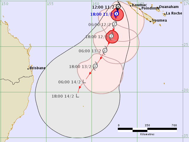
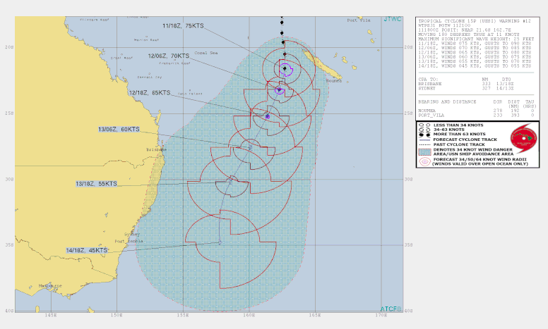
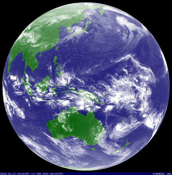
Tropical Cyclone Uesi developed in the South-West Pacific Ocean North of Noumea. The tropical low that became Uesi was first identified and tracked in the northeast Coral Sea on February 4 2020. The system initially moved slowly in the northeast Coral Sea before forming into a tropical cyclone to the west of Vanuatu on February 9. Uesi reached a peak intensity of category 3 northwest of New Caledonia on 11 February and then gradually reduced to category 2 intensity as it moved into the southern Coral Sea during 12 February.
As Uesi started to approach Lord Howe Island on 13 February it started to lose some of its tropical characteristics, but maintained winds equivalent to a category 2 tropical cyclone as it passed close to the island that night. Uesi then tracked southwards across the Coral Sea and caused wind gusts equivalent to a category 2 tropical cyclone as it moved into the Tasman Sea and passed close to Lord Howe Island on 13 and 14 February. Tropical cyclone Uesi also caused abnormally high tides and large waves along the New South Wales and southeast Queensland coast and about Lord Howe Island. Maximum wave heights of 5-6 metres were generally recorded along areas of the southeast Queensland coast during the event. Large waves extended down the New South Wales coast and led to some beach closures.


