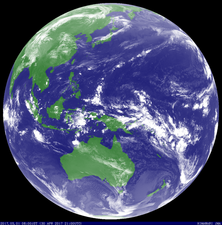
Tropical Cyclone Greg

Tropical Cyclone Greg was a Category 1 oceanic system well off the northwest Australian coast that moved west, north of the Cocos Islands, before weakening below cyclone strength.
A low formed on 29 April 2017 about 755 kilometres northeast of the Cocos Islands. The low moved south until 30 April when the low turned west. Greg reached tropical cyclone strength during the afternoon of 30 April. Greg moved to the north of the Cocos Islands but no gales were recorded on the islands. The tropical cyclone continued to move in a westerly direction and weakened below cyclone strength on 1 May.
The system did not cause any known impacts.
Tropical Cyclone Greg was the eighth tropical cyclone in the Australia Region for the 2016/17 season.
From www.bom.gov.au


